Offline-first maps
A world map, port data and caches that work with zero signal. Built for the open ocean.

Built for seafarers · Works where the signal doesn't
Offline-first navigation, distance planning, nautical tools, weather and your crew — in one app. No signal? No problem.
Free on Android · iOS coming soon
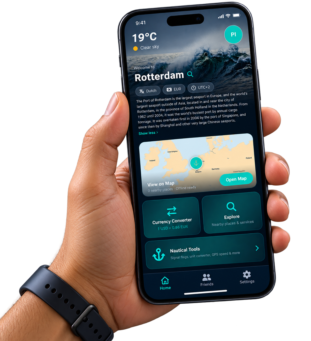
One app for the passage, the port and the crew.
A world map, port data and caches that work with zero signal. Built for the open ocean.
Calculate distance across 1,934 ports with a true offline routing engine — by speed or by arrival.
Marine weather, sunrise & sunset, barometer, signal flags and IMO-approved rest hour logs with PDF export.
Weather, nearby places and services for every port you call — online and offline.
Find friends from your contacts, poke, and see who's nearby — without the noise.
Offline-first everywhere it matters: bundled world map, port data and caches. First-launch data ≈ 6–8 MB, then ~0 at sea.
Nautical vocabulary and standards throughout — IMO record formats, Douglas & Beaufort scales, LOCODEs.
Every heavy fetch is cached. Heavy downloads are opt-in, and a map data-saver toggle keeps you in control.
Friends via contact sync, rate-limited pokes, and block/report tools — connection without clutter.